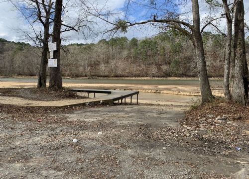
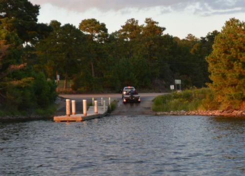
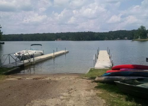
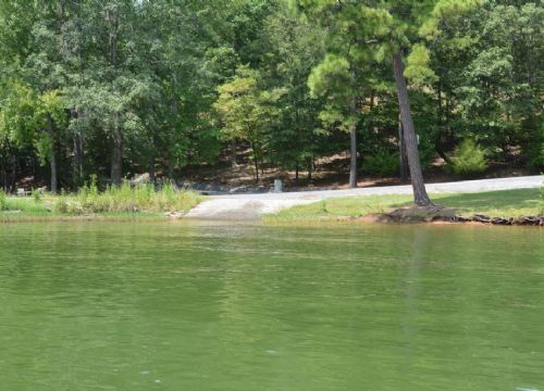
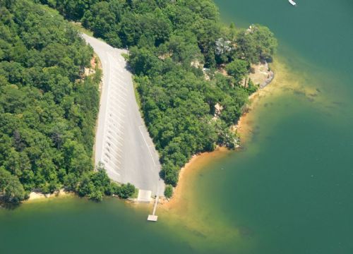
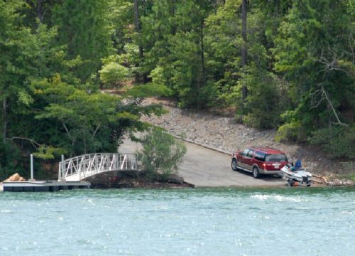
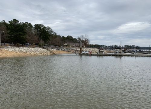
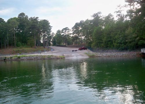
![]() |
![]() |
|
DiscoverBOATING Boat Marinas and Ramps |
|
Backwater Grill and Landing
Location: Rt. 5, Box 602, Pineywood Road, Alexander City (205) 329-8888 Access: Public Boat Launch |
|
Baker's Bottoms
Location: Off Baker Bottom Road |
|
Castaway
Location: Castaway Island Road (County Road 360) north of Red Hill. County: Elmore County Latitude: 32.711667 Longitude: -85.938611 Access: Public Boat Launch |
|
Coley Creek
Location: Coley Creek Road off Dadeville Road; east of Sturdivant. Concrete ramp. County: Tallapoosa County Latitude: 32.928611 Longitude: -85.885556 Access: Public Boat Launch |
|
D.A.R.E. Power Park
More Info
Location: Young's Ferry Road |
|
Double Bridges Park
Location: Our Childrens Hwy (State Hwy 63) North of Coven Abbett Hwy. and south of U.S. Highway 280. County: Tallapoosa County Latitude: 32.876111 Longitude: -85.960833 Access: Public Boat Launch |
|
Jaybird Landing
Location: Off County Road 57. Dirt ramp. County: Tallapoosa County Latitude: 32.957778 Longitude: -85.809722 Access: Public Boat Launch |
|
Kowaliga Bridge
Location: Located on the north shore of Kowaliga Bridge off Highway 63. Concrete. County: Elmore County Latitude: 32.744167 Longitude: -85.961111 Access: Public Boat Launch Loading Pier |
|
Little Kowaliga
Location: County Road 483 off Little Steel Bridge Road (County Road 55). Concrete ramp. County: Elmore County Latitude: 32.739444 Longitude: -86.063333 Access: Public Boat Launch |
|
Madwind Creek
Location: Point Windy Drive. Concrete. County: Tallapoosa County Latitude: 32.846944 Longitude: -85.856389 Access: Public Boat Launch |
|
New Hope Church
Location: Wicker Point Road to Youngs Ferry, West - Off Hwy 63 |
|
Paces Point
Location: Red Ridge Road (off Hwy 34). Concrete ramp. County: Tallapoosa County Latitude: 32.780556 Longitude: -85.8775 Access: Public Boat Launch |
|
Piney Woods Landing
Location: Coven Abbett Road, veer left on Piney Woods - right on Corley Road |
|
Smith Landing
Location: Old Susanna Road. Concrete ramp. County: Tallapoosa County Latitude: 32.797778 Longitude: -85.819444 Access: Public Boat Launch |
|
Sturdivant Creek
Location: County Road 40 |
|
Union
Location: Center Port Road (off Hwy. 50) |
|
Wicker Point
Location: Wicker Point Road off Our Childrens Hwy. Concrete ramp. County: Tallapoosa County Latitude: 32.8225 Longitude: -85.855278 Access: Public Boat Launch |
|
Youngs Landing
Location: Youngs Ferry Road. Concrete ramp. County: Tallapoosa County Latitude: 32.8225 Longitude: -85.855278 Access: Public Boat Launch |